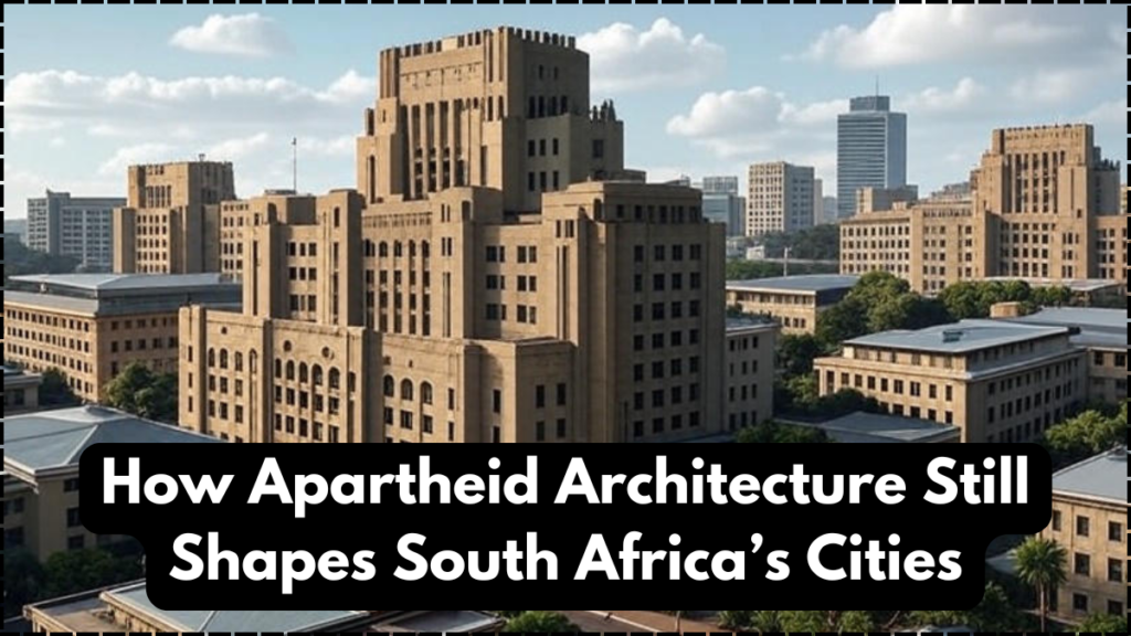
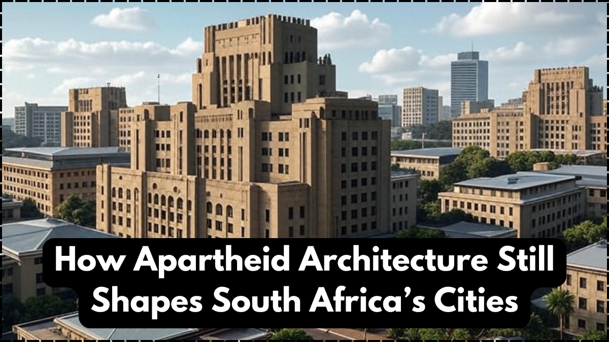
The cities of South Africa are living archives of the past, where the physical layout of neighborhoods and infrastructure still echoes the era of apartheid architecture. During the apartheid regime, city planning was deliberately designed to separate communities based on race, shaping not just housing patterns but also access to resources, transport, and opportunities. Decades after the official end of apartheid, these architectural imprints remain highly visible in the fabric of urban life. They remind us that the built environment is not neutral—it is a reflection of power, politics, and identity.
Looking closely at urban design reveals how apartheid’s policies became concrete realities, affecting millions of people. From segregated townships to buffer zones and divided road networks, apartheid architecture was central to controlling populations. Today, while democratic reforms have made strides in addressing inequality, the legacy of these designs continues to influence how cities grow and function. Understanding this helps us recognize how South Africa history is etched into its very streets and skylines.

The Intentional Design of Apartheid Architecture
Apartheid-era city planning was not random; it was systematic. The government created urban blueprints to enforce segregation and restrict access to opportunities. Through zoning laws, buffer zones of empty land, and carefully controlled transport routes, apartheid architecture reinforced racial divisions.
Key features included:
- Townships built far from city centers to isolate non-white populations.
- Buffer strips of land or highways that created physical barriers between communities.
- Urban centers reserved for white citizens, with access tightly controlled for others.
This deliberate design embedded social and economic inequalities into city landscapes, shaping the long-term trajectory of development in South Africa history.
Lasting Urban Inequalities
Even today, the physical imprint of apartheid architecture continues to shape urban realities. Many Black South Africans still live in townships far from economic hubs, facing long and costly commutes. Public transport routes often mirror apartheid-era patterns, reinforcing divides between residential and business areas.
To illustrate, here’s a comparison of urban conditions influenced by apartheid versus the post-apartheid period:
| Urban Feature | Apartheid Era (Pre-1994) | Post-Apartheid Challenges |
|---|---|---|
| Housing | Segregated by race, with forced removals | Legacy persists, many townships underdeveloped |
| Transport | Limited routes connecting non-white areas | Still costly and time-consuming commutes |
| Access to City Centers | Highly restricted for non-white citizens | Open access but economic barriers remain |
| Public Services | Concentrated in white areas | Uneven service delivery continues |
This table shows how deeply apartheid architecture influences South African cities, linking the built environment to enduring inequalities.
Reforms and Attempts at Integration
Since 1994, South Africa has tried to bridge these divides through housing programs, infrastructure development, and urban renewal projects. While progress has been made, transforming cities shaped by apartheid architecture is a monumental task. Many townships remain underfunded, and efforts to create affordable housing closer to economic centers face resistance from wealthy neighborhoods.
The country’s urban planning efforts today must balance economic growth with social justice. By investing in integrated transport systems, inclusive housing, and equitable access to services, South Africa aims to dismantle the physical barriers created in its past. Yet, South Africa history reminds us that these changes require time, political will, and sustained investment.
Cultural Memory in Architecture
Architecture is more than functional space—it carries memory. Monuments, buildings, and urban layouts serve as daily reminders of history. For many South Africans, living in cities shaped by apartheid architecture means confronting a painful past every day. However, these spaces are also being reimagined. Artists, architects, and urban planners are reworking neglected areas into spaces of inclusion, culture, and community.
By reshaping these legacies, South Africa is finding ways to acknowledge its past while building a more inclusive future. This transformation is an important step in rewriting South Africa history into one of resilience rather than oppression.
Conclusion
The legacy of apartheid architecture continues to shape South Africa’s cities long after the fall of apartheid. Urban divides, unequal access to services, and lingering spatial inequality all stem from this historical blueprint. Yet, the country’s efforts to integrate its cities show determination to overcome its past. Recognizing the role of South Africa history in shaping today’s built environment is key to building cities that are fairer, more inclusive, and reflective of a shared democratic future.
FAQs
What is apartheid architecture?
Apartheid architecture refers to the urban planning and city design during apartheid that enforced racial segregation in housing, transport, and public spaces.
How does apartheid architecture affect modern cities?
It continues to influence residential patterns, with many communities still divided by distance, limited transport, and unequal access to services.
Why is apartheid architecture important in South Africa history?
It represents how political systems shaped physical environments, leaving a legacy of inequality that still impacts South Africans today.
Can urban reforms overcome apartheid architecture?
Yes, with sustained investment in housing, transport, and integration projects, cities can be reshaped to promote inclusion and equality.
Click here to learn more
Sachin is a dedicated writer specializing in education, career, and recruitment topics, delivering clear and actionable insights to empower readers.
